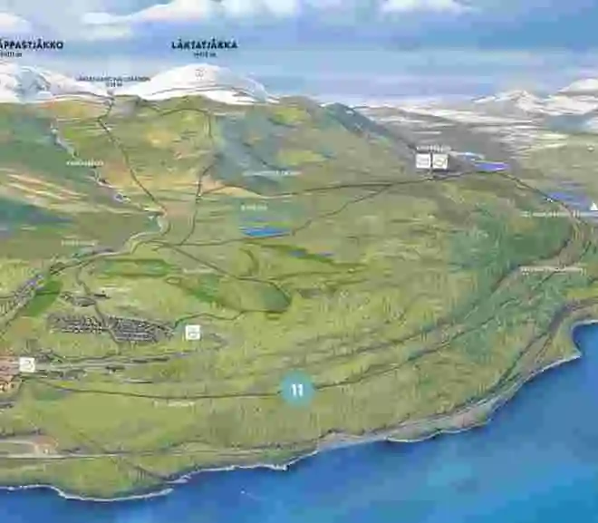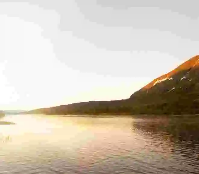
10. NAVVY TRAIL (RALLARLEDEN) TO ABISKO
If you’re ready for the next step in your cycling journey but not quite prepared for uphill climbs, the trail towards Abisko might be an option.
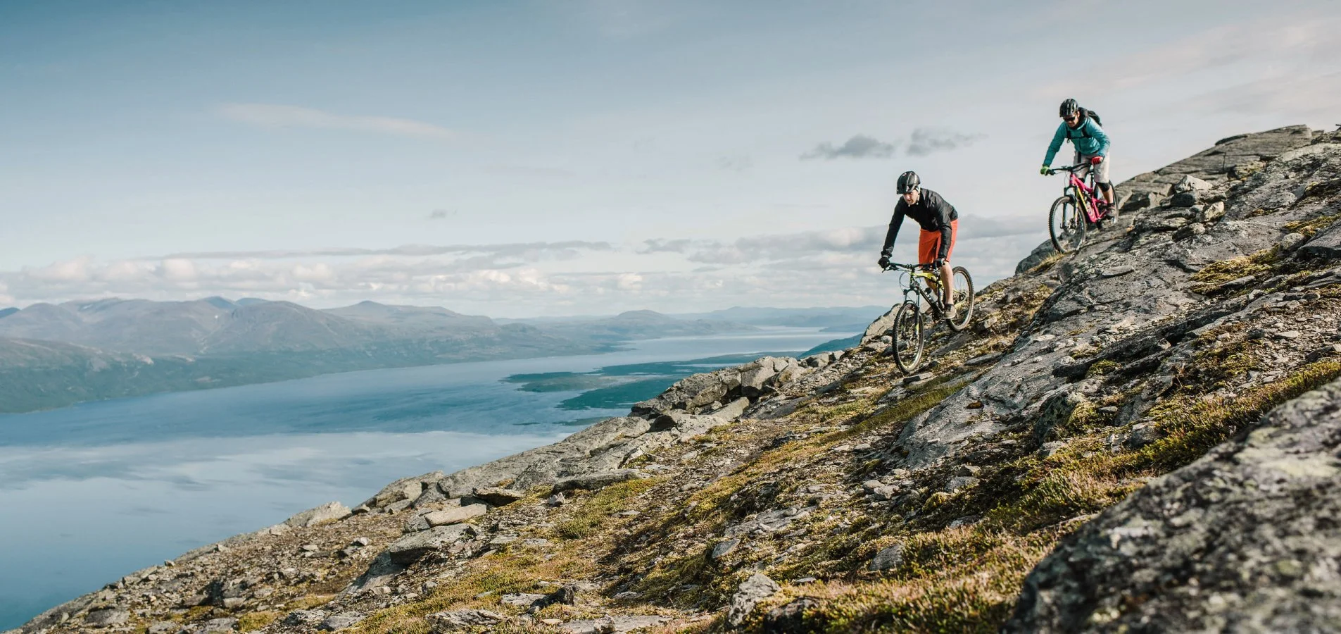
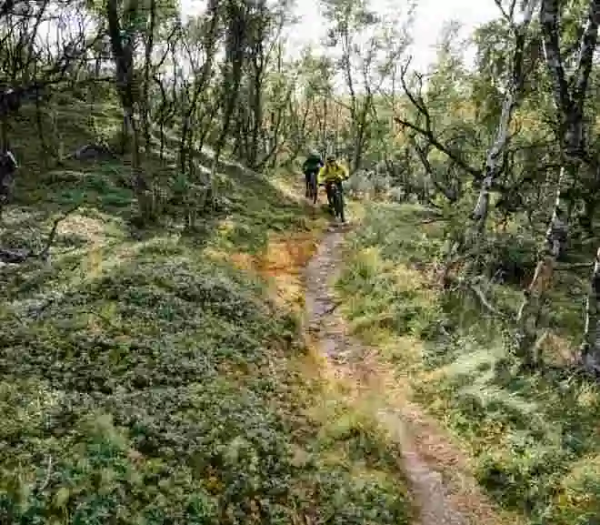
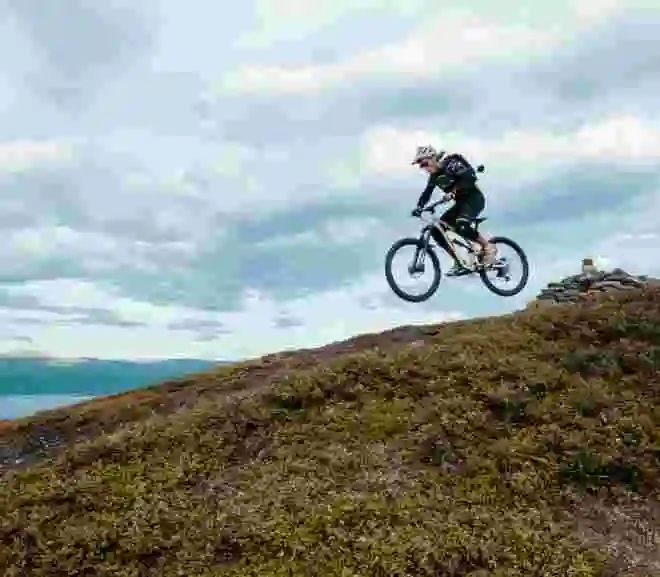
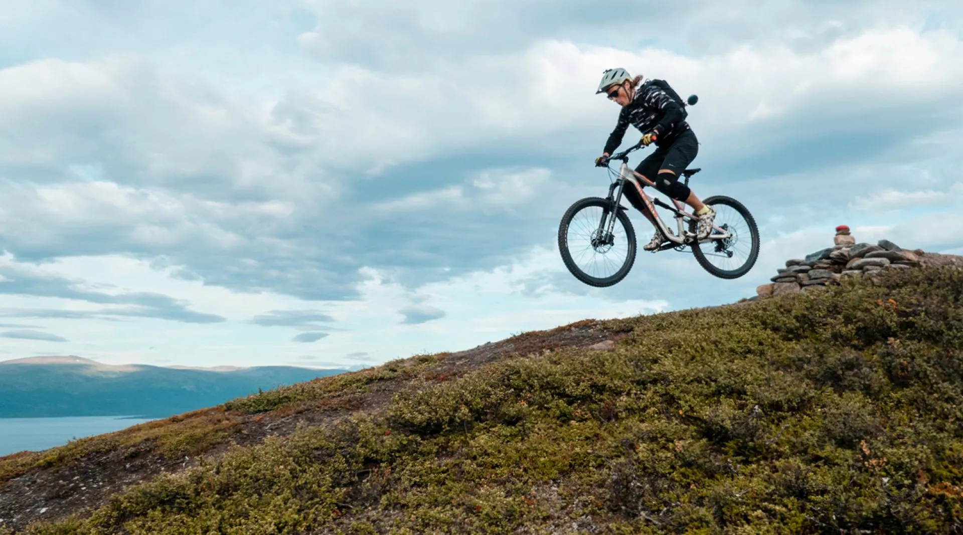
Mountain biking is a wonderful and somewhat fast-paced way to discover the mountains. If you haven’t brought your own bike, you can rent one at our sports shop. If there’s been a lot of rain and the ground is very wet, please avoid cycling on wet ground as it can cause unnecessary wear and tear on the terrain.
Also, remember to cycle calmly if you encounter hikers; we are all here to enjoy our tours.
Electric bikes are not covered by the Right of Public Access (allemansrätten) according to the Swedish Environmental Protection Agency, and permission from the landowner is required to operate them.
Six Rules for Mountain Bikers:
The trail has few elevation changes, but the challenge lies in cycling on boardwalks. You’ll need to stay focused and trust that your bike goes where you steer it. Cycling on boardwalks isn’t as difficult as you might think; when cycling, we mostly steer the bike very straight with small margins. Just watch out for large gaps between the planks or if there’s been a downpour and the boardwalk is very wet. There are fewer boardwalk sections the closer you get to Abisko, and once you reach the STF Tourist Station, you can congratulate yourself with a fika (swedish word for coffee and snacks break).
|
Distance: |
0 – 6,5 km one-way |
|
Elevation gain: |
10 m. |
|
Difficulty: |
Green. |
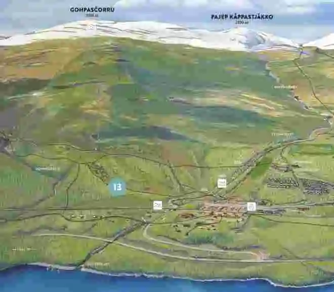
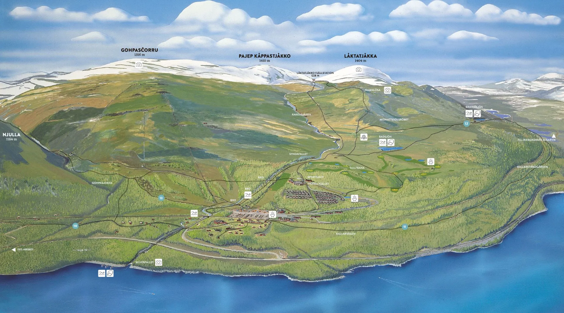
From Björkliden westward, the Navvy Trail stretches along the railway. You decide how far you want to cycle before turning back home. The trail goes all the way to Riksgränsen but is most frequently used from Björkliden up to Låkta anhalt, after which it becomes slightly more overgrown for a stretch until Låkta anhalt, where it widens again and continues towards Riksgränsen.
|
Distance: |
0 – 30 km one-way. |
|
Elevation gain: |
15 m. |
|
Difficulty: |
Green. |
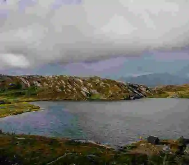
We recommend cycling up to the Midnight Sun Cairn (Midnattsolsröset) and from there following the paths to Crater Lake. Once you reach Crater Lake, you can take a break, maybe a swim and a fika, before heading back home along the cross-marked trail. If you want to make it a round trip past Rallarkyrkogården (Navvy Cemetery) according to the hiking descriptions, we recommend being a more experienced cyclist, as the downhill sections between Crater Lake and Rallarkyrkogården are more technical. Alternatively, be prepared to walk certain downhill sections with your bike.
|
Distance: |
5 km around. |
|
Elevation gain: |
30 m. |
|
Difficulty: |
Blue/Red. |
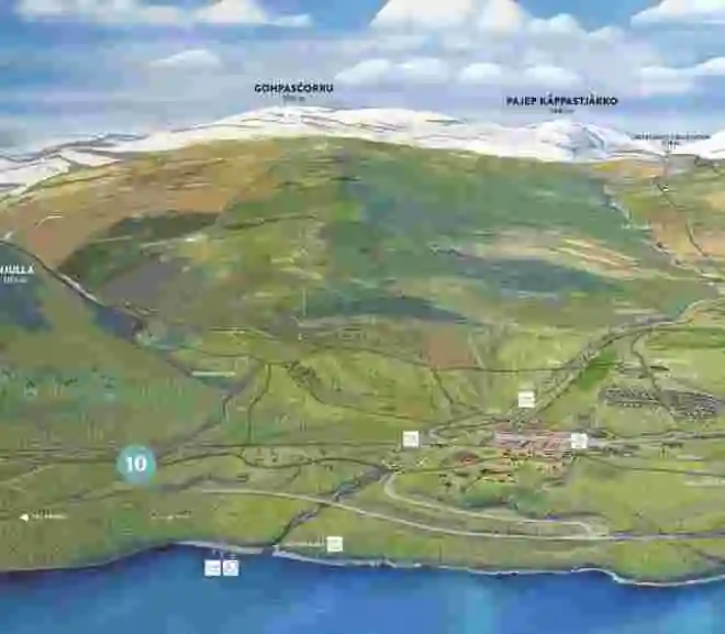
The start is at the valley station of Björkliden’s highest lift, the Kittel Lift, at 520 meters above sea level. To get to the starting point without too much effort, you can follow the gravel road that begins down by the helicopter pad and takes you south up through the ski system. Avoid cycling on the hiking trail that starts at the hotel and also goes up towards Njulla; it can be very wet in places. Once up at Kitteldal, aim for Gohpasjohka stream, which you’ll hear beside you. A path runs along the stream, which you initially share with hikers, but most hikers leave after the first plateau. You follow the path downhill and eventually end up almost all the way back by the helicopter pad and the gravel road.
|
Distance: |
1,5 km. |
|
Elevation gain: |
180 m. |
|
Difficulty: |
Blue |
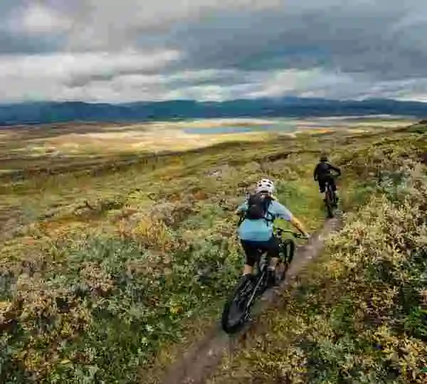
Cycle south towards Abiskojaure from Abisko Tourist Station. The King’s Trail is relatively stony in places and can feel a bit more challenging to cycle, even though it’s relatively flat. However, there’s a clearly well-trodden trail. Cycling is permitted in the national park, but remember not to deviate from the trail with your bike as it can cause significant wear and tear on the ground – and if the wear becomes too great, bikes may be prohibited. Also, remember that electric bikes are considered motor vehicles by the Swedish Environmental Protection Agency and are not allowed in the national park.
|
Distance: |
0 – 20 km one-way |
|
Elevation gain: |
20 m. |
|
Difficulty: |
Green/Blue. |
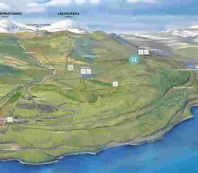
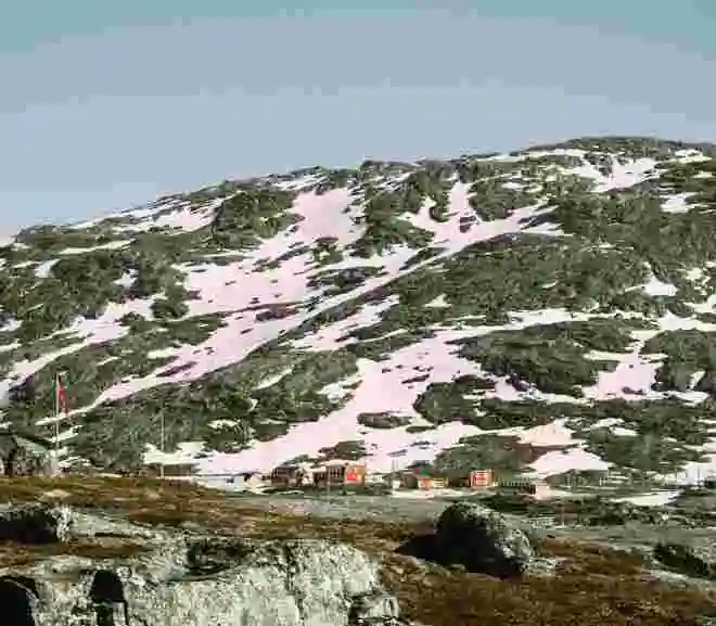
”Låktatjåkko Mountain Station is Sweden’s highest located mountain station, at 1228 meters above sea level. Take a well-deserved fika break and try the famous Låkta waffle. Served with cloudberry jam and whipped cream!”
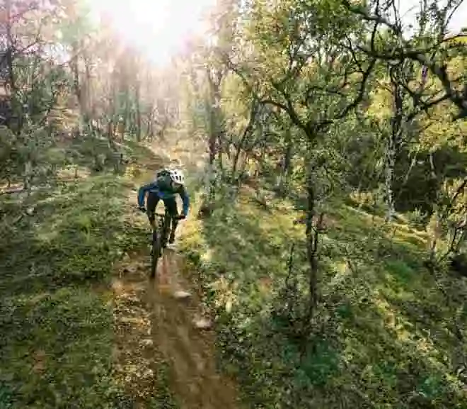
You start from the small train station Låkta anhalt. Drive about 20km on E10 from Björkliden towards Riksgränsen. After Låktajokken, look out for two parking spots on the right side of the road and a small blue sign, which marks the path up towards Låkta anhalt. When you reach the railway, remember that the crossing is unguarded! Look carefully and lead your bike across the tracks. Follow the trail behind the station house south through the forest and turn east when you reach the old material road after about 200 m. This road dates from the time when Låkta Mountain Station was built. This is the road you should follow, not the cross-marked hiking trail. It’s possible to cycle the same way back, but the marked trails back to Björkliden offer a longer and more varied ride. There are two to choose from: the Summer Trail (Sommarleden) and the Guide’s Trail (Färdledarvägen). Feel free to ask the staff at the mountain station about the conditions along the trails, but generally, the Summer Trail is a bit wetter but less stony, while the Guide’s Trail can offer a bit more challenge with downhill sections on rock slabs. In places, there are permanent snowfields, but they are usually hard enough in summer that you can cycle over them.
Bring your own mountain map for this route.
|
Distance: |
about 18 km. |
|
Elevation gain: |
800 m. |
|
Difficulty: |
Red/Blue. |
You start just across the Norwegian border at Bjørnfjell train station, signposted from E10 with a train station sign. At the train station, the Norwegian Rallarveien begins, which is the continuation of the Rallarleden. In places, the trail is stony, and you’ll have rock slabs to cycle over, but it’s not the trail itself that requires your full focus, but rather the steep sides next to the trail. Therefore, it’s not recommended to cycle with smaller children whose focus can quickly shift. The trail winds downhill all the way to Rombaksfjorden along a railway section that has been designated one of the world’s finest. When you reach Rombakksbotn, there are three options: cycle back up to Bjørnfjell, or take a bus or boat from Rombakksbotn to Narvik, which departs at fixed times and days to Narvik. It is recommended to pre-book the boat trip to Narvik. From Narvik bus station, there are regional buses back to Sweden, which is a short distance from the harbor in Narvik, alternatively the train. Make sure you meet the requirements for bicycles on trains so that you are allowed to travel.
Bring your own mountain map for this route.
|
Distance: |
15 km one-way. |
|
Elevation gain: |
0 m. |
|
Difficulty: |
Green/Blue. |