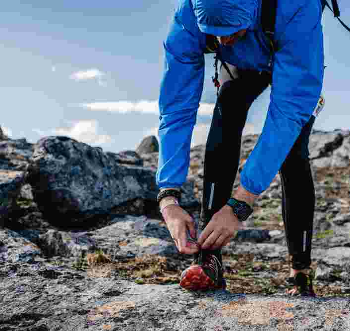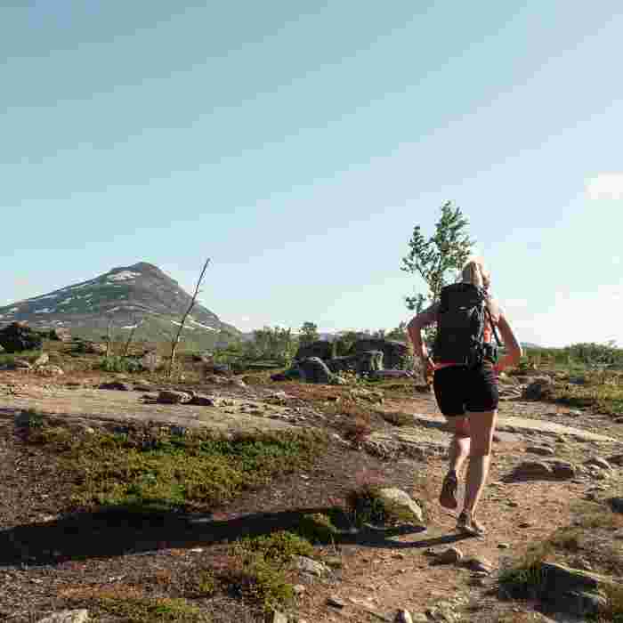
The mountains are the perfect place for running; let yourself breathe in the expansive views and inspire yourself with every turn of the trail.
Your legs fly as you let your worries fly away. Fresh air fills your lungs, your racing heard pounds as you smile at the windswept chain of snowy peaks stretching off into the horizon. Today, you’ll go further than you thought you would.
Below, we have compiled a list of some of our favorite stretches where, along with your running shoes, feet and tempo that’s all your own, you can discover some of our wonderful nature. What’s not to love? The only risk is that you’ll be tempted to return for Björkliden’s Arctic Mountain Marathon, otherwise known as BAMM!
All of the stretches below are of course excellent terrain for hiking, if you need hiking poles they are available at our sport shop! sportshopen.
Selection of running / hiking trails around Björkliden
INCLINE TRAINING ALONG JOKKEN
200 altitude meters and 1.5 km
You can choose the difficulty of this trail and go as hard as you want by choosing the distance you continue. The path runs from the beach down by the Torne wetlands beach along the north side of Rakkasjohka. The path ends just above the hotel at what we call Syndafallet and the most intense and challenging stretch is right at the end. If you start all the way down at Torne wetlands and run all the way up to Syndafallet, it will be 200 meters high and 1.5 km long. Running along the ‘jock’ river is very beautiful and you are driven forward by the refreshing sound of icy, fresh mountain water. If you want to shorten the distance a bit, a tip is to start at the lower of the three bridges that cross the river. A refreshing dip at the fall is of course not a bad idea if the water flow and the water level allows it.
RUNNING THE FOOTBRIDGES TOWARDS ABISKO
10 altitude meters and 6.5 km
If you’ve never tried to run on a footbridge, it is really something to try. Running on footbridges is like running on hard ground but with a little spring in the step that gives a little extra push. On the “Rallarleden” in the direction of Abisko, there is plenty of footbridges mixed with bare ground that yield a diverse and engaging trail. A classic is to run to the National Park border, right to where the outdoor map and sign are, and then home again. The trail is roughly 2.5 km of relatively low difficulty, about 5 km round trip. If your legs feel light, you can continue all the way to the tourist station at Abisko where you can stop at the STF (Swedish tourist association) for a well-deserved coffee break before returning home again. If you choose this add on, it is roughly 6.5 km one way, so if you run all the way, a round trip is around 13 well-deserved kilometers. The trail starts at the bridge over Rakkasjohka below the railway in Björkliden village.
AROUND THE LAKE – KRATERRUNDAN
120 altitude meters and 9 km
If you’re interested in a really nice view, we recommend Kraterrundan. You can run it in both directions, but the most wonderful direction is probably to start with the trail towards Kratersjön, then turn down towards Rallarkyrkogården and then finish by running on the pleasantly green Rallarleden path home. The start from the hotel is up the gravel hill, then follow the road forward to Badsjön. Then follow the trail on the right side of the lake that will take you to Kratersjön. Once at Kratersjön, turn off northeast and then follow the path and the red cross markings that take you down about 100 meters. After this you will come down to the railway. Be very alert when crossing the rail, as it is unattended and the trains come quickly and unannounced. Once down by the Rallar cemetery, you choose to follow the Rallar trail and follow it through the beautiful birch forest home. The trail takes you to Björkliden’s railway station, then there is an optional route to your accommodation.
MORNING ROUND
15-20 MIN – 40 altitude meters and 1.5 km
If you’re looking to have a jump start to your day, enjoy the best views and then be home again just in time for breakfast, this round is for you. You start by running the gravel road up from the hotel to what we call View Point: a small red house with a flat roof about 350 meters from the hotel. At View Point, turn your nose north towards Torne marshes and then follow our Flower Path which is marked with a flower. The path will lead you out to the golf course, down some stairs and then through the birch forest back home to the hotel where breakfast awaits.
NATURE EXPERIENCE
160 altitude meters and 2.5 km easy road
If you’re eager to get a little further away from the hotel, feel some energy in your legs and check out some really cool nature, we recommend following the path up to the caves towards Njulla mountain, which lies between Abisko and Björkliden. From the hotel, a path runs south over Rakkasjohka and then through the birch forest. When you are out of the birch forest, you come out on a gravel road that takes you up through our ski system. After about 300 meters on the gravel road you reach a wooden fence located on your left side. Here you cross an open area that in winter is a piste. Then you continue upwards along the path that starts there. You can follow the path all the way up to the bare mountain, then cross Gohpasjohka on a bridge. On the way back down you can either follow the same path home or follow the gravel road that starts at Kittelliftens valley station.
LÅNGPASSET – BJÖRKLIDEN – NJULLÁ – STF – BJÖRKLIDEN
About 650 altitude meters and 17 km without the top, 780 altitude meters and 19 km with the top.
If you’re looking for a real challenge, we suggest the round over Njulla mountain all the way to Abisko. The stretch up to the top of Njulla is also the stretch for our competition “Njulla Vertical”. The trip goes from Björkliden up to Njulla according to the same stretch as the Nature Experience above. Then follow the trail further up between Njulla and Slåttatjåkka all the way to the top of STF´’s chairlift. From there you continue down to STF’s tourist station and then take the Rallarleden home. If you also want to get up to the top of Njulla (elevation 1,164 m), you can either choose to run from the bridge over Gohpasjohka upwards and aim at the top, or when you have passed the pass between Njulla and Slåttatjåkka, choose the marked path back up to the top. This is an intense running workout of the more challenging kind, and keep in mind that the weather can change quickly in the mountains, so pack some snacks, warming and windproof insulating garments if the weather changes. If you have little or no mountain experience, we ask you to always talk to our staff about any advice before you leave. If you want more information about the trail, you can easily ask our guides in the sports shop.